
Our News
What are the Indices of Multiple Deprivation?
The English Indices of Deprivation 2025 (IoD25) measure relative levels of deprivation in 33,755 small neighbourhoods across England, known as Lower-layer Super Output Areas (LSOAs). Each LSOA contains around 1,500 residents, allowing deprivation to be assessed at a very local level.
The IoD25 brings together seven distinct domains, income, employment, education, health, crime, barriers to housing and services, and living environment. These are weighted and combined to produce the Index of Multiple Deprivation 2025 (IMD25), the government’s official measure of deprivation and a widely used proxy for quality of life.
Taken together, these indices provide a realistic picture of poverty and inequality, highlighting not just where deprivation exists, but the specific challenges communities face.
Lancashire: How do local authorities compare?
Lancashire is one of England’s most diverse counties in deprivation terms, containing some of the most and least deprived local authority areas nationally.
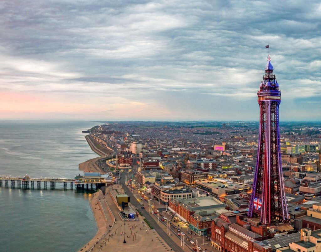
Blackpool ranks as the most deprived local authority in England, with over 40% of its neighbourhoods falling within the most deprived 10% nationally. Burnley (4th nationally) and Blackburn with Darwen (11th) also sit within the highest deprivation group reflecting long standing challenges.
Pendle (13th) and Hyndburn (16th) continue this pattern, with around one third of neighbourhoods in each area among the most deprived nationally. In these districts, deprivation is often multi dimensional, with income and employment deprivation closely linked to poorer health and educational outcomes.
The next tier of Lancashire authorities includes Preston (57th) and Rossendale (60th), both contain pockets of deep deprivation. In Preston, for example, around 17% of neighbourhoods are among the most deprived 10% nationally, masking sharp inequalities within the district.
Alongside these areas Lancaster, Wyre and West Lancashire present more mixed deprivation profiles. Lancaster ranks at the national midpoint but contains pockets of significant deprivation in its inner urban and coastal communities. Wyre is similarly mixed, while much of the borough ranks among the least deprived nationally, small areas of significant deprivation remain, often linked to access to services, housing affordability and seasonal employment. West Lancashire ranks closer to the less deprived end of the national scale, yet still contains neighbourhoods within the most deprived decile, reflecting sharp contrasts between more prosperous commuter areas and communities facing income and employment challenges.
By contrast, districts such as Fylde, Chorley, South Ribble and Ribble Valley rank among the least deprived areas in England. Ribble Valley has no neighbourhoods in the most deprived 10% nationally, illustrating how deprivation in Lancashire is highly concentrated rather than evenly spread.
Overall, Lancashire’s picture is one of contrast. Severe, concentrated deprivation in several authorities alongside relative affluence elsewhere. This uneven geography reinforces the importance of targeting resources at neighbourhood level, where need is greatest, rather than relying solely on county wide averages.